




A Map with Depth
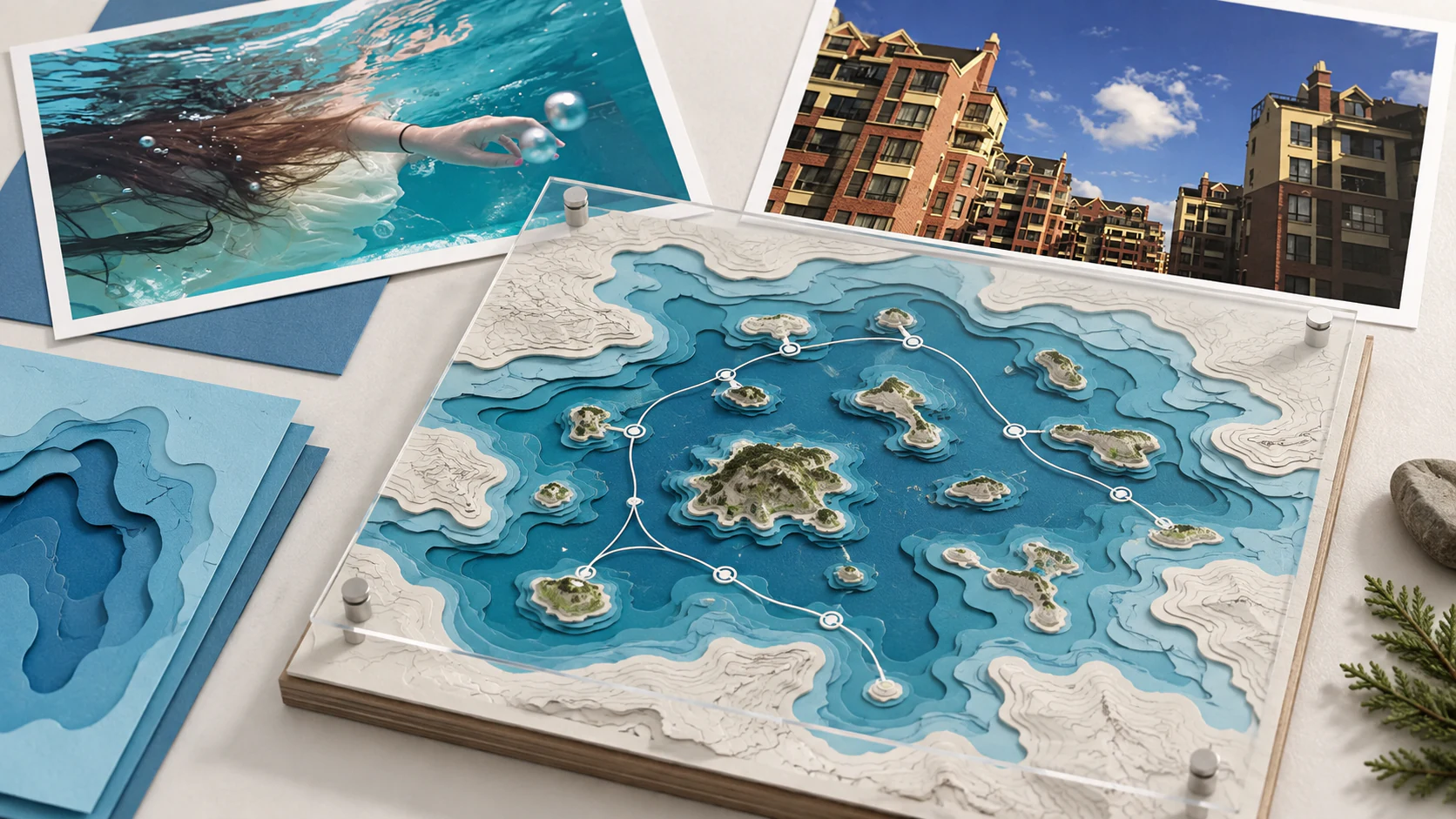
This independent extension gives the lake itinerary a topographic logic. Layered contours, water colour and removable route cards help visitors understand distance and elevation before they move through it. The structure is precise, while the generous gaps acknowledge that landscape should not be completely explained.
GUAVANext project